This is a virtual walk through the western half of our land – showing you some of our favorite places in different years and different seasons.
Here’s a link to a map of the farm if you enjoy reading maps and want to follow along. The numbers on the photos refer to numbers on the map.
This walk is one we could actually do – it’s about 2 1/2 miles and would take a few hours.
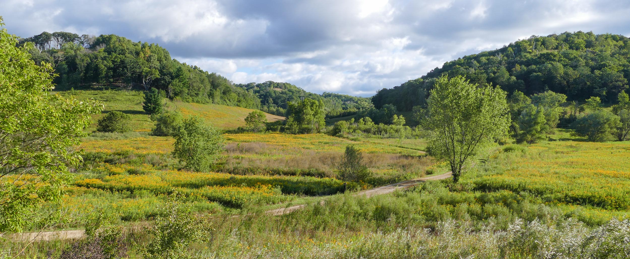
1 – The Western Walk starts at the entrance of our driveway with a view of our two large bluffs – Big View Bluff on the left, and Sumac Prairie Bluff on the right, with Center Valley between them.
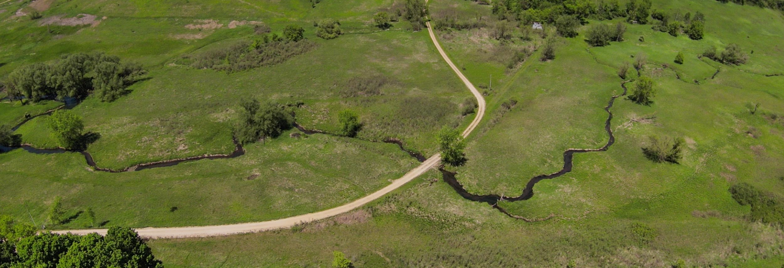
2 – Between the bluffs and the road is Little Waumandee Creek, surrounded by a large wetland. This is a view from the drone.
2 – Little Waumandee Creek at Willow Bend – an area with old willows with beaver damage and several dams.
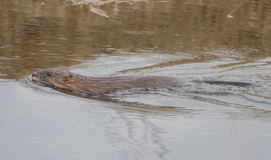
2 – One of the Beavers. We’ve also seen otters, muskrats, herons, ducks and mink in and around the beaver ponds.
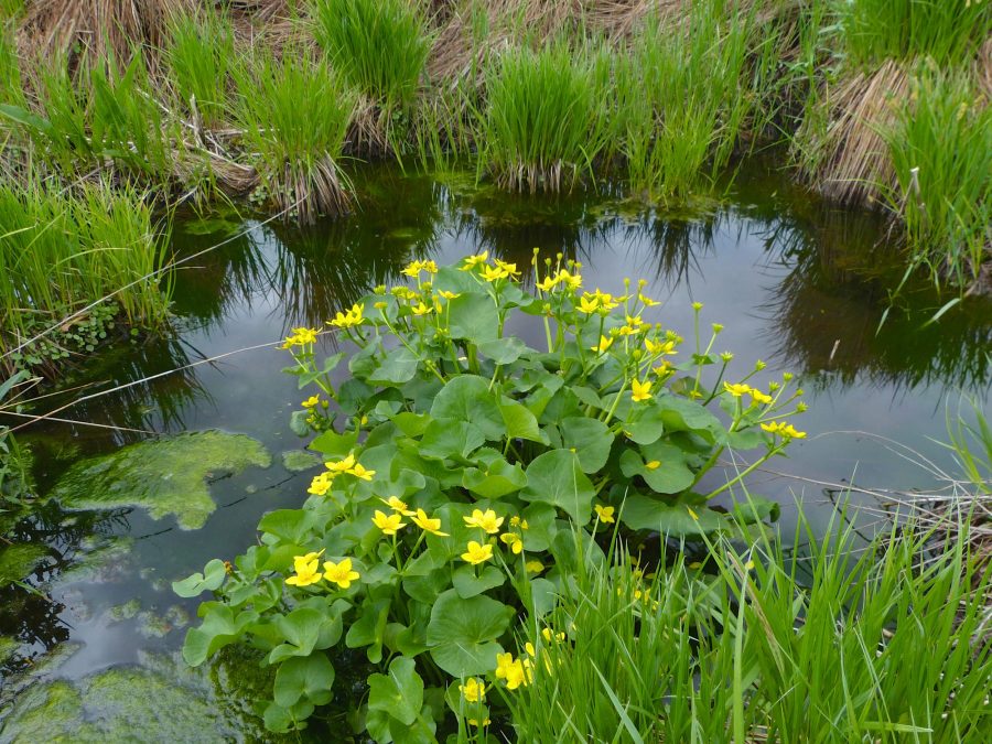
2 – We have about a dozen springs. This is one of the largest, surrounded by sedges and with Marsh Marigolds blooming.
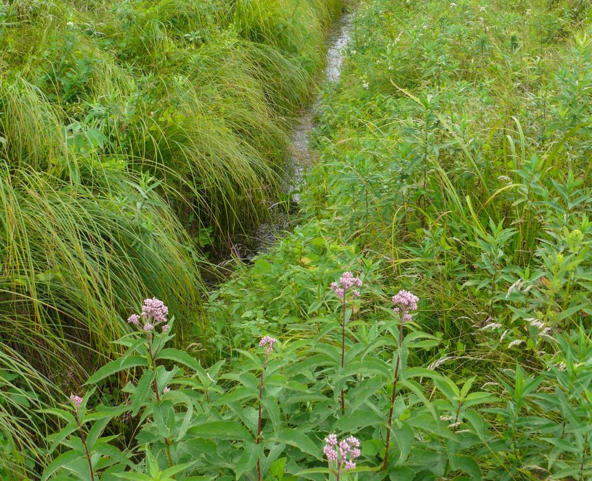
2 – One of the small streams leading from a spring to the creek
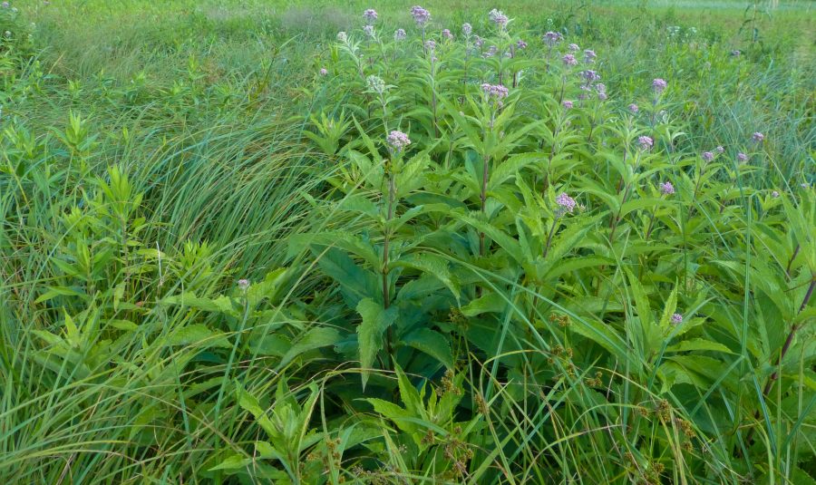
2 – The land surrounding the creek is very wet. Some areas had once been farmed, some are sedge meadows, and some are wet prairie. This is Joe Pye weed in one of the sedge meadows.
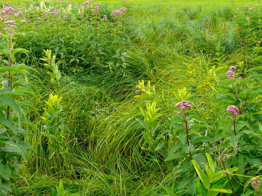
2 – More of the sedge meadow. Sedges are similar to grasses. The ones that dominate our sedge meadows form tall hummocks that make it difficult to walk through them – and probably also difficult to plow.
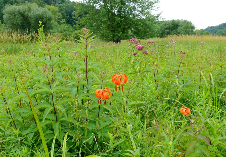
2 – This is an area of wet prairie that was never plowed. It has a diverse plant community – the flowers in the photo are Turk’s Cap Lily, Joe Pye Weed and Swamp Milkweed.
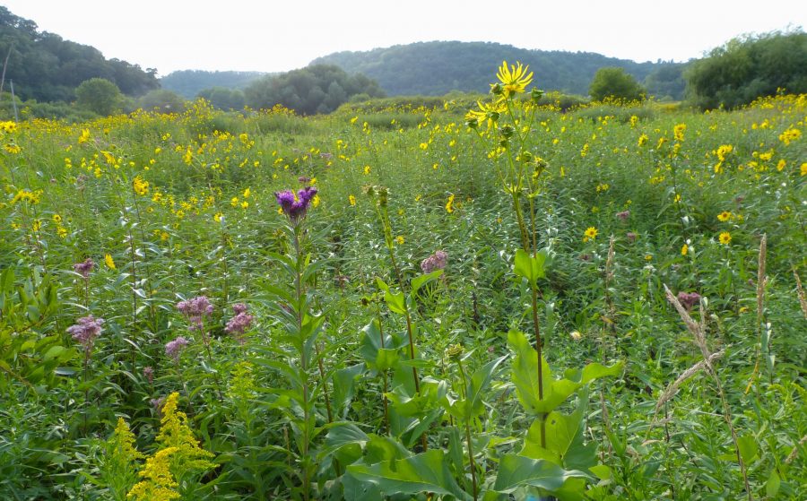
2 – Tall Sunflowers, Cup Plant, Joe Pye Weed, and Ironweed growing in one of the parts of the wetland that was farmed at one time. I planted wet prairie seeds here, and they’re thriving.
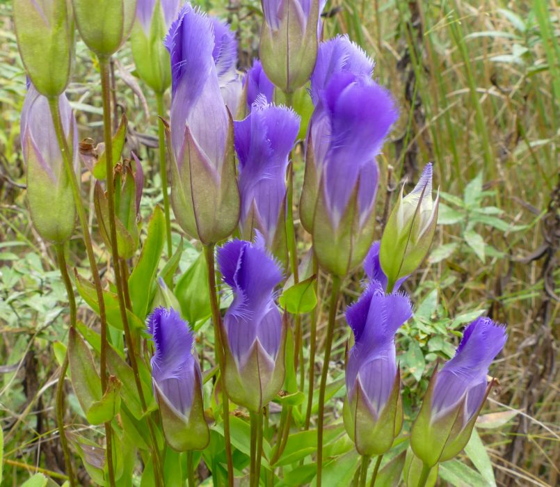
2 – Fringed Gentians grow in one part of the wetland, and I’ve spread the seeds to a few other places.
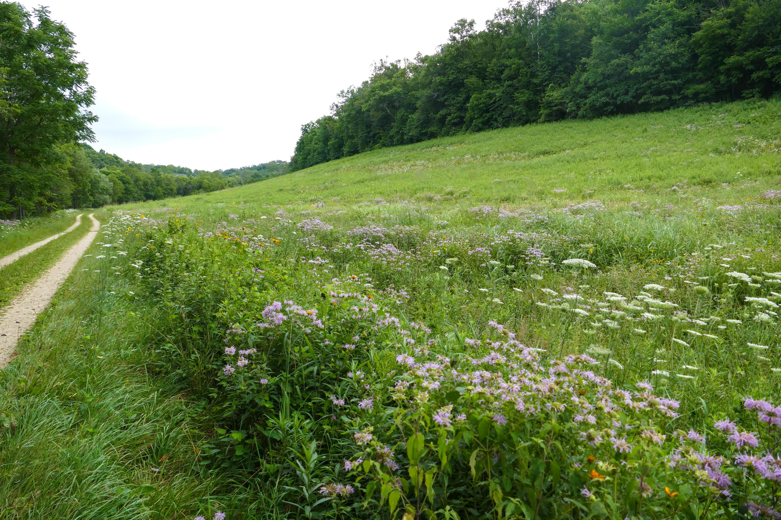
3 – This is the wet south end of East Center Valley Prairie with Joe Pye Weed, Swamp Betony, Swamp Thistle, Boneset, Goldenrod and Cordgrass.
3 – Now we’re walking back along the driveway toward the house – past East Center Valley Prairie.
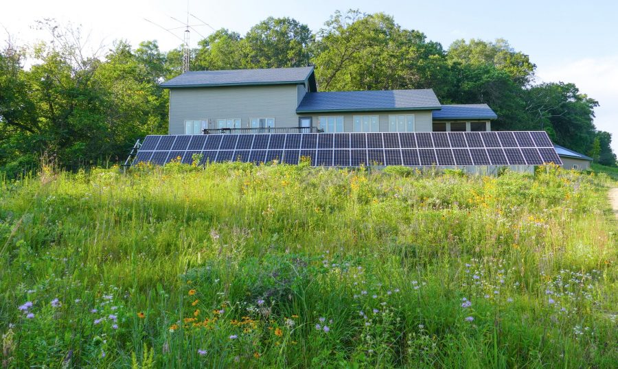
4 – And this is our house, surrounded by prairie and the solar panels we had installed in 2015 – we don’t have a lawn. The house is in the middle of Center Valley, about half a mile back from the road.
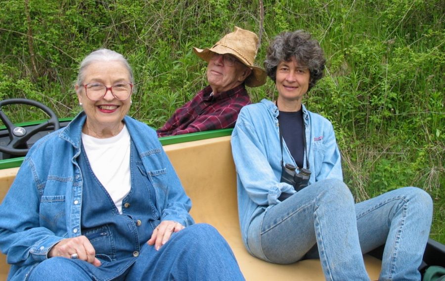
5 – Turning back toward the road, on the other side of Center Valley, is Pat’s Prairie – named for Mike’s mom, Pat O’Connor. She loved visiting the farm, and was interested in all the things we’re doing here. Here she is with me and Paul, in 2002, getting ready to go on a gator ride.
We planted Pat’s Prairie the first year we owned the farm – in the winter of 2000/2001.
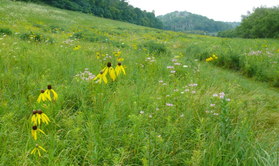
5 – Here it is in 2011.
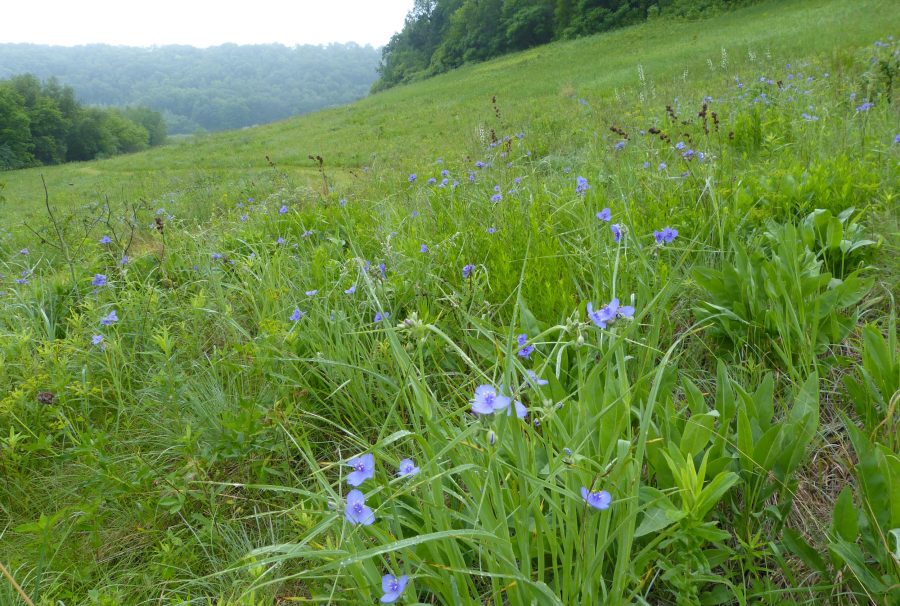
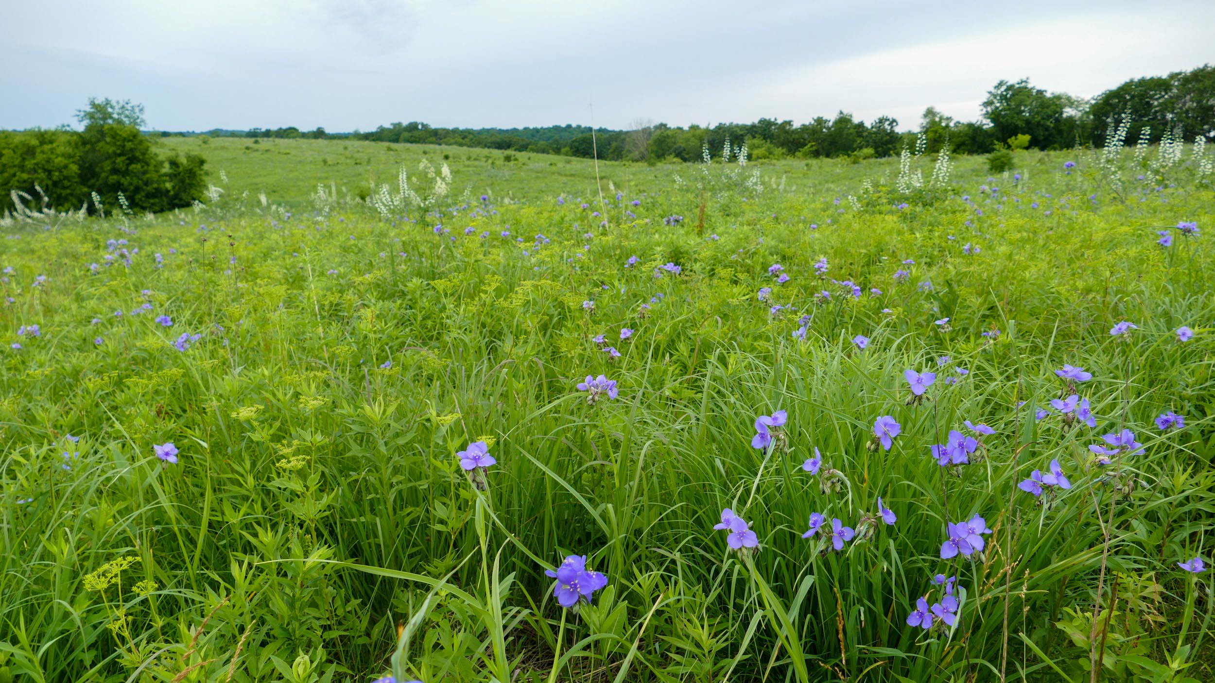
5 – Spiderwort in Pat’s Prairie
6 – Turning the corner around the end of Big View Bluff is Pine Point Prairie – another of our early planted prairies. The upper part of the prairie has dry soil, the lower part gets wetter and wetter until it merges with sedge meadow. Above the planted prairie is a remnant savanna that we’re slowly getting cleared out so it’s more open.
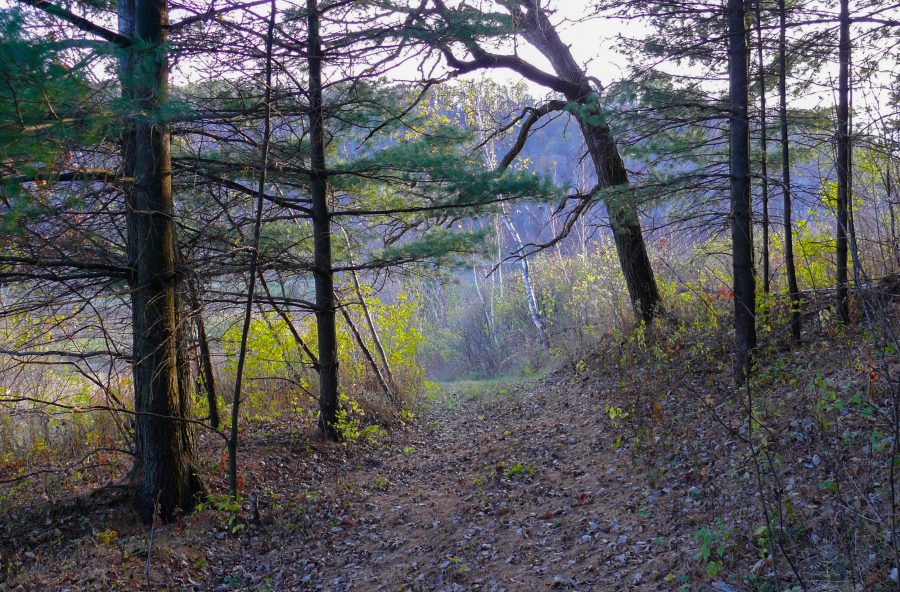
7 – To get up the hill from here, we walk up the dugway, through the woods. The dugway is a steep, narrow trail that was probably made when they used horses to farm the fields. Here’s the view looking down from the lowest part of the road. Part way up is a place where there was a mud slide a few years ago – during a big rain storm. So part of the path was washed away, and it’s tricky to navigate. We don’t use this path as much now.
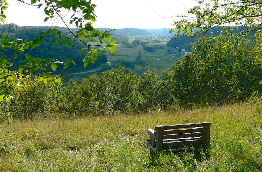
8 – The next stop is Big View Prairie. It’s at the top of the western bluff and has our best view of the surrounding landscape. This is one of the 4 wooden benches that Mike made, that we’ve put on 4 different scenic points. Our best walks are ‘3 bench walks’ – a ‘4 bench walk’ would take most of the day.
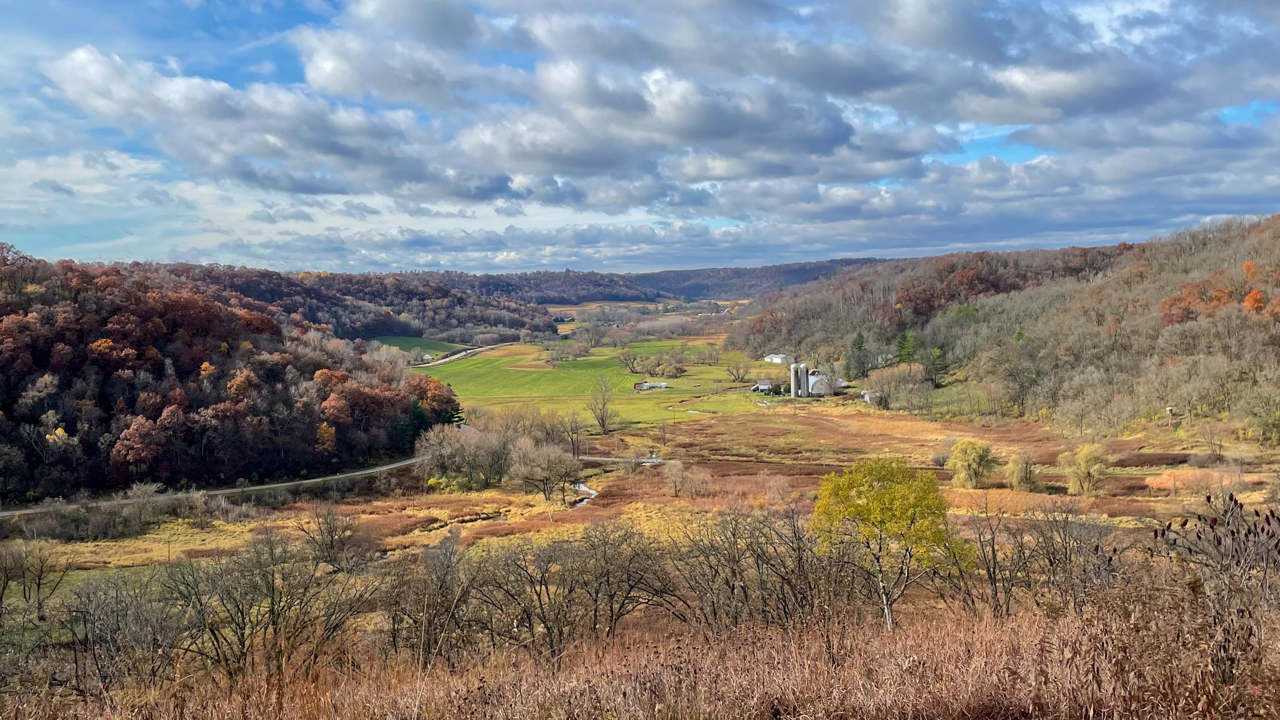
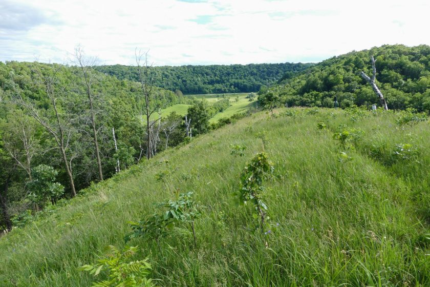
8 – The view from Big View Prairie
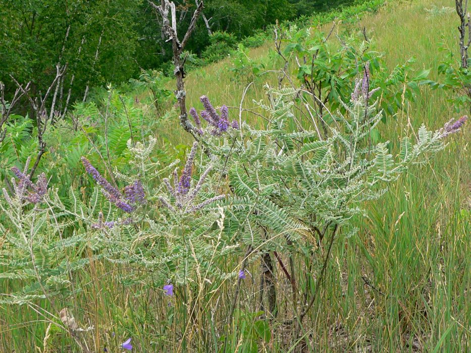
8 – Leadplant in Big View Prairie
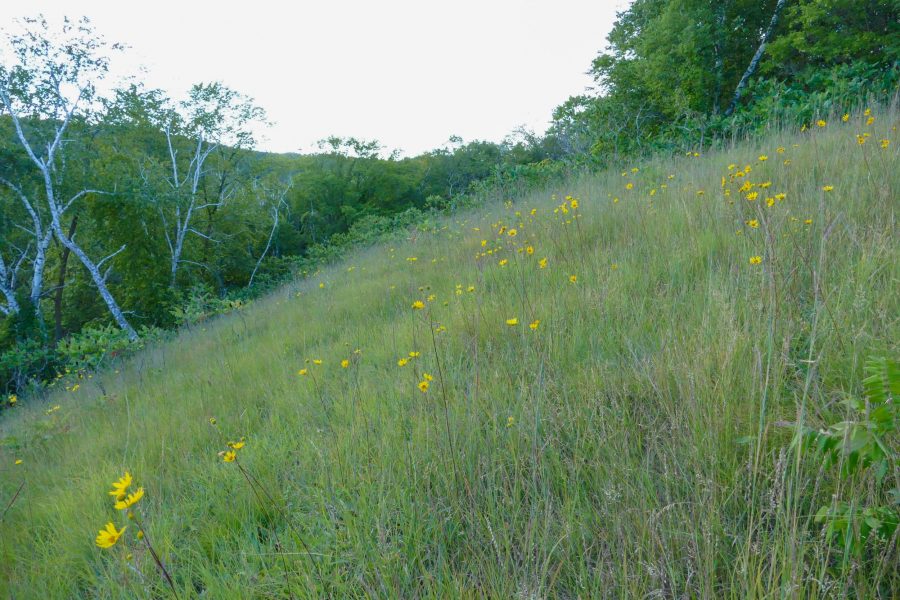
8 – Western Sunflower in Big View Prairie
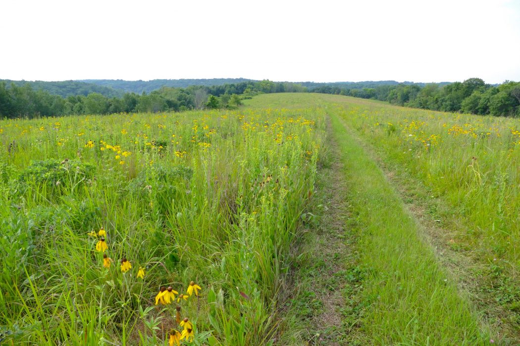
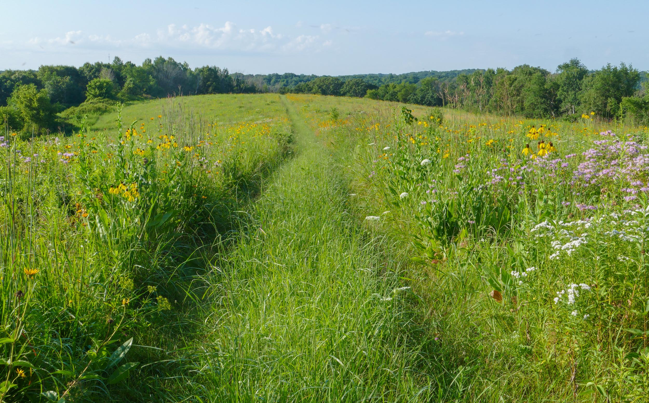
9 – Behind Big View Prairie, and all along the top of that ridge, is our largest planted prairie – Western Prairie. It’s about 60 acres, and with Buffalo Ridge Prairie which is another 20 acres, makes our largest prairie area. This photo gives a sense of the expanse of the prairie.
9 – Western Prairie
9 – Western Prairie flowers
9 – Several species of grassland birds that require large expanses of grassland nest here. This one is a Henslow’s Sparrow – a state threatened species.
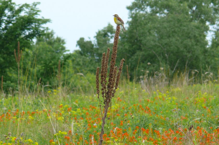
9 – We’ve also seen Dickcissels – sparrow-sized birds that look like small Meadowlarks.
9 – Western Prairie
10 – Buffalo Ridge Prairie branches off Western Prairie onto the broad top of another bluff. It’s been one of our most successful plantings.
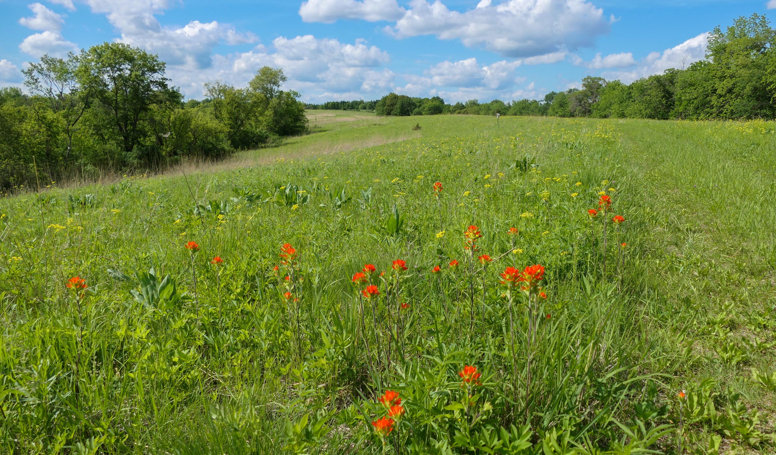
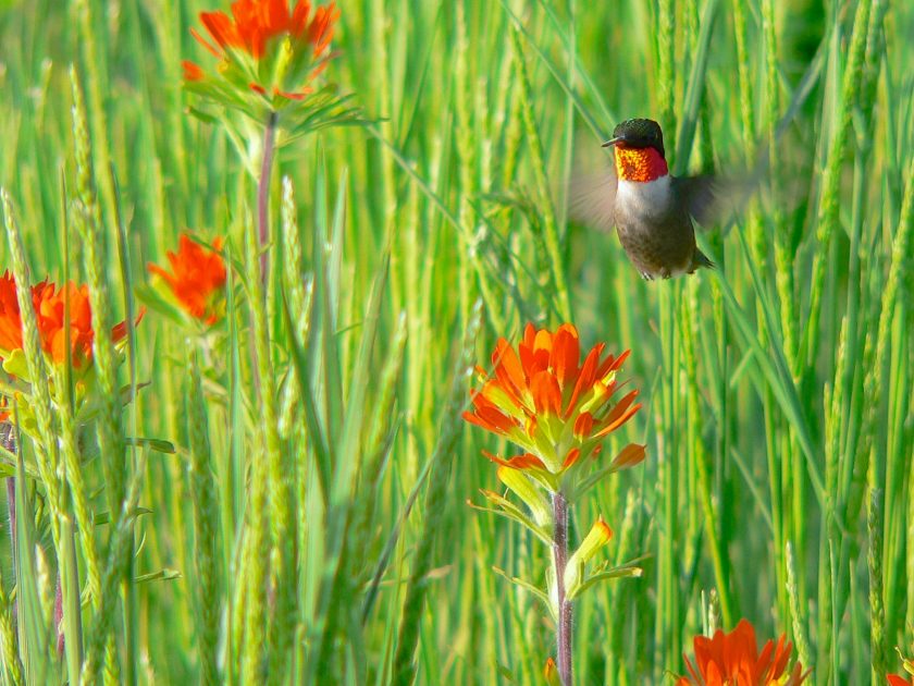
10 – Early summer on Buffalo Ridge – Indian Paintbrush and Golden Alexanders
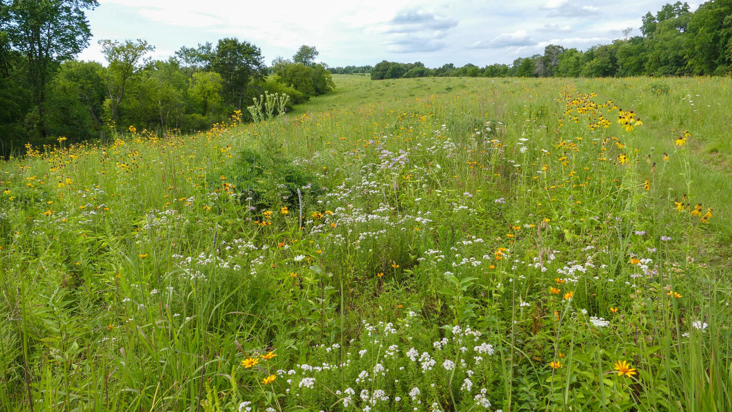
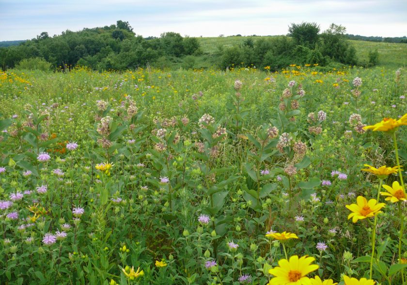
10 – More Buffalo Ridge flowers – Common Milkweed, Butterflyweed, Oxeye, Monarda, and Giant St. John’s Wort
10 – It’s especially fun to watch birds and insects using the plantings. Here’s a Ruby-throated Hummingbird nectaring on Indian Paintbrush
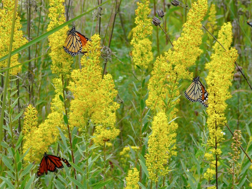
10 – Migrating Monarch Butterflies nectaring on Showy Goldenrod
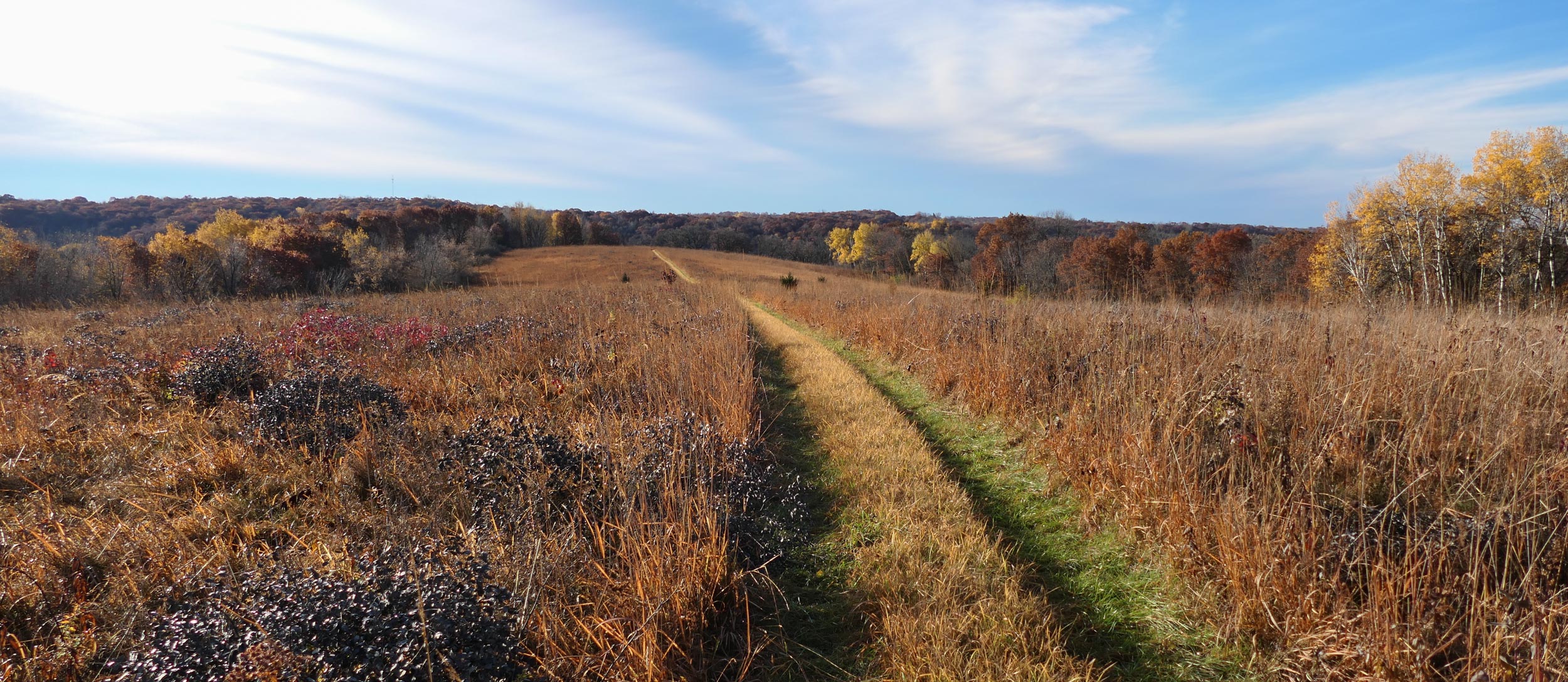
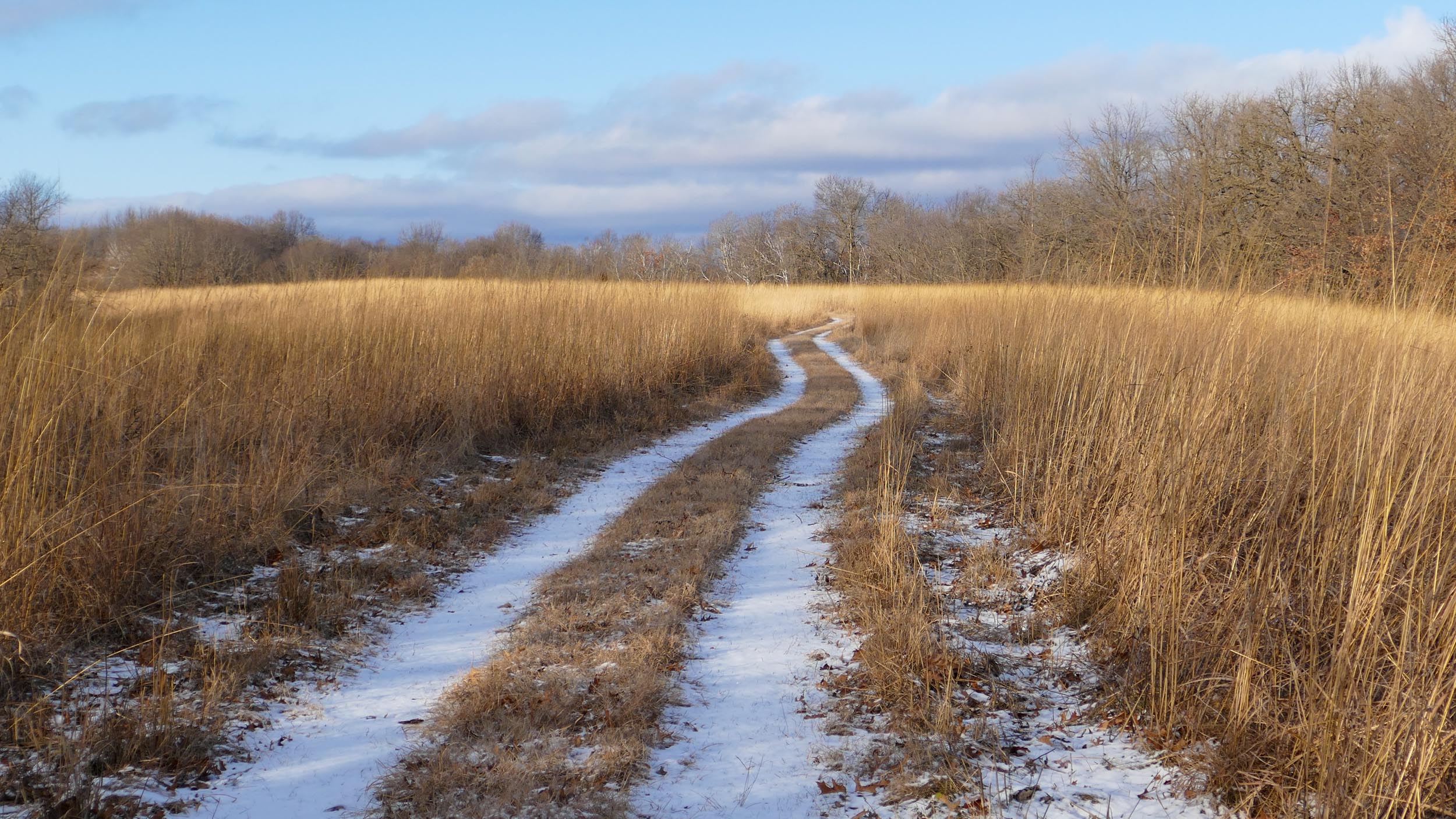
10 – Buffalo Ridge Prairie in the fall.
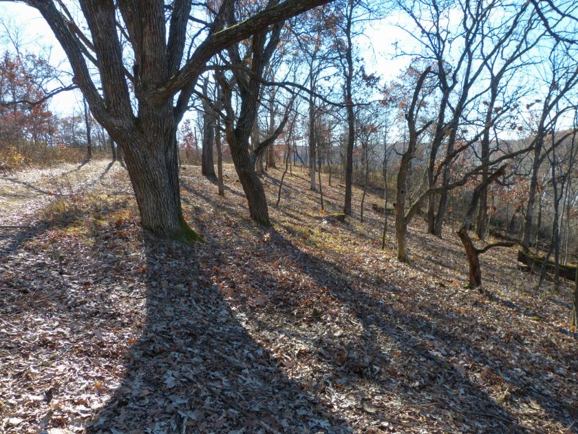
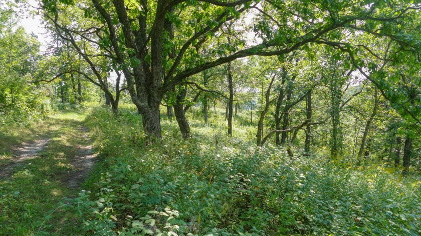
11 – At the south end of Buffalo Ridge Prairie is a path that leads to Indian Grass Point. The path goes through a savanna remnant we’ve been working to restore that we’ve named Twisted Oak Savanna. This first photo is from the fall of 2013, just after we’d cleared the brush out from under the big oaks.
11 – Here’s the same place in the summer of 2017 – after several seasons of recovery.
12 – A more recently restored part of Twisted Oaks Savanna.
12 – This is Indian Grass Point – the dry prairie point that’s just beyond the savanna, and just above our house. This photo shows the south end of the point, and the view south, over Center Valley with Maple Ridge in the distance.
Now we’re back to the house, and you can either stop here, or continue on for the second half of the tour. Click here to go on to the Eastern Walk. Here’s the way back to the main ‘Farm Tour’ page.

