3 Finger Valley is a long, narrow valley that runs up the center of our land. At the north end it splits into 3 short valleys. It’s about 14 acres and was the second of the fields that we planted with prairie – in the winter of 2001/2002.
Here are stories and pictures of this prairie from each year:
2023, 2022, 2021, 2020, 2019, 2018, 2017, 2016, 2015, 2014, 2013, 2012, 2011, 2010, 2009, 2008, 2007, 2006, 2005, 2004, 2003, 2002, 2001, 2000
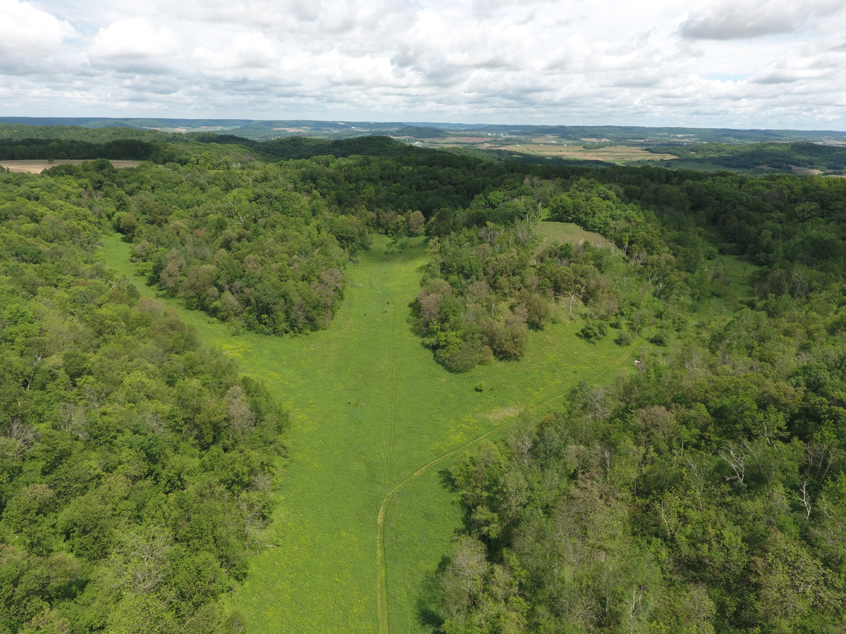
This aerial view shows its shape and location.

This photo – taken from the drone on 6/4/2016 – shows the end where the 3 fingers come together.
Click Here for the list of seeds that were planted in the winter of 2001/2002.
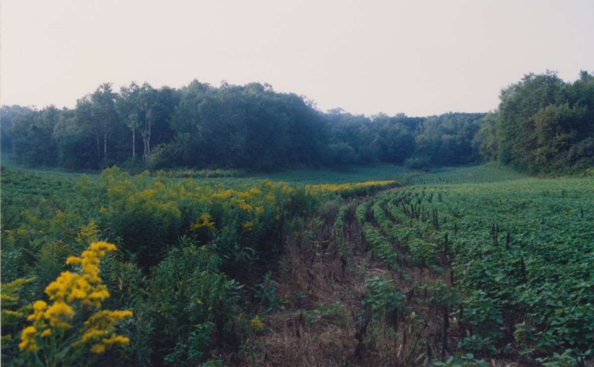
This shows the place where the 3 fingers come together when it was still a soybean field, and then much later when it was an established prairie.
It’s been a challenging prairie to maintain. Since it’s at the bottom of the valley, and very narrow, it doesn’t get much sun. Tree seedlings creep into the edges from the woods that surround it. Originally the bottom of the valley was probably a wet, wooded stream, or at least an intermittent stream. A stream still runs there on warm snow-melt days.
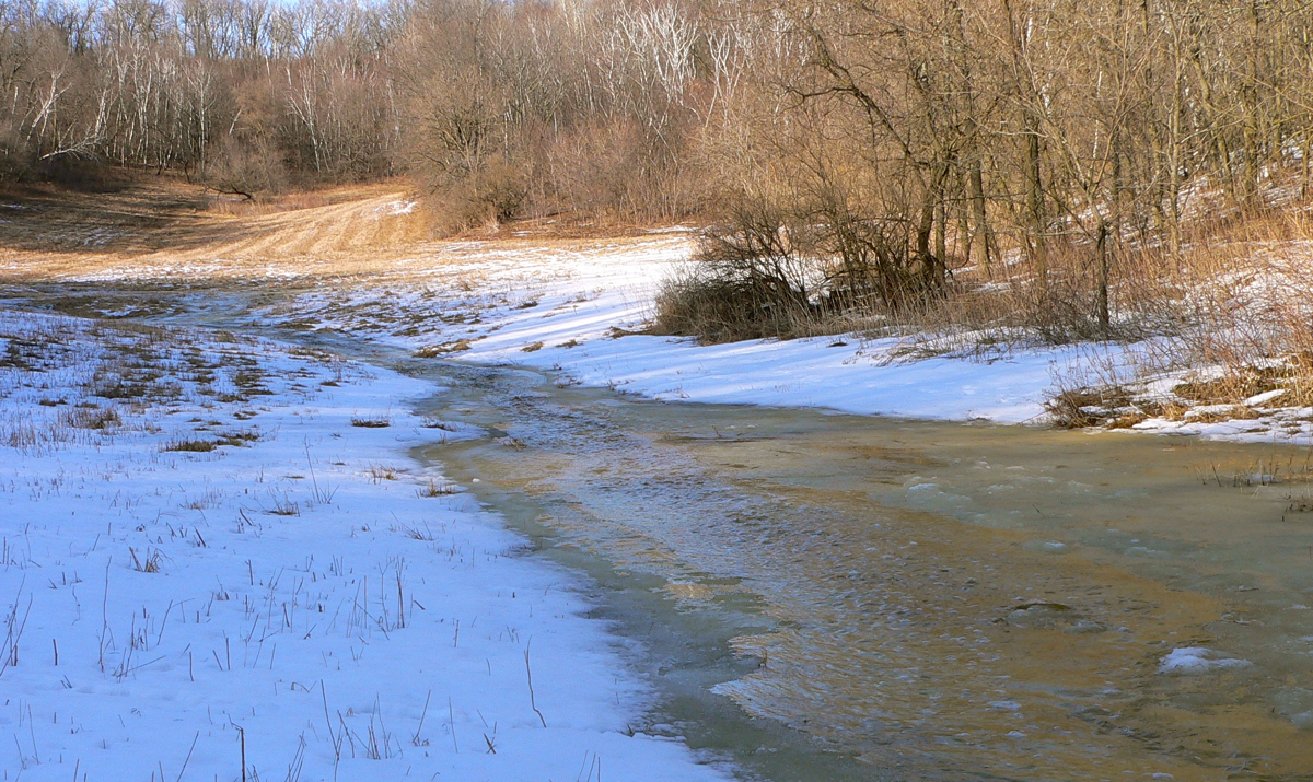
3/6/2005 This is one of the meltwater streams – starting at the top of the valley where the 3 fingers meet. Water still runs there in the spring, but since the prairie has come up there’s much less of it.
June 2017 – one of the meltwater streambeds when the water isn’t running

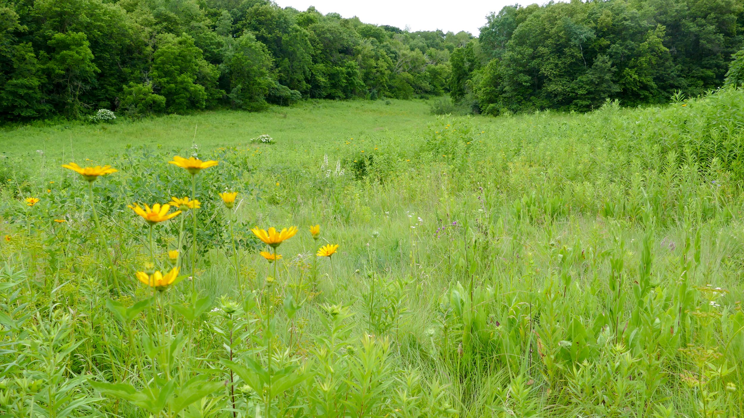
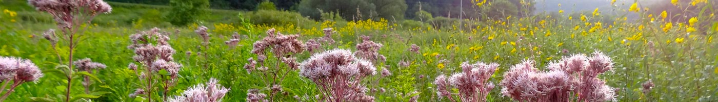
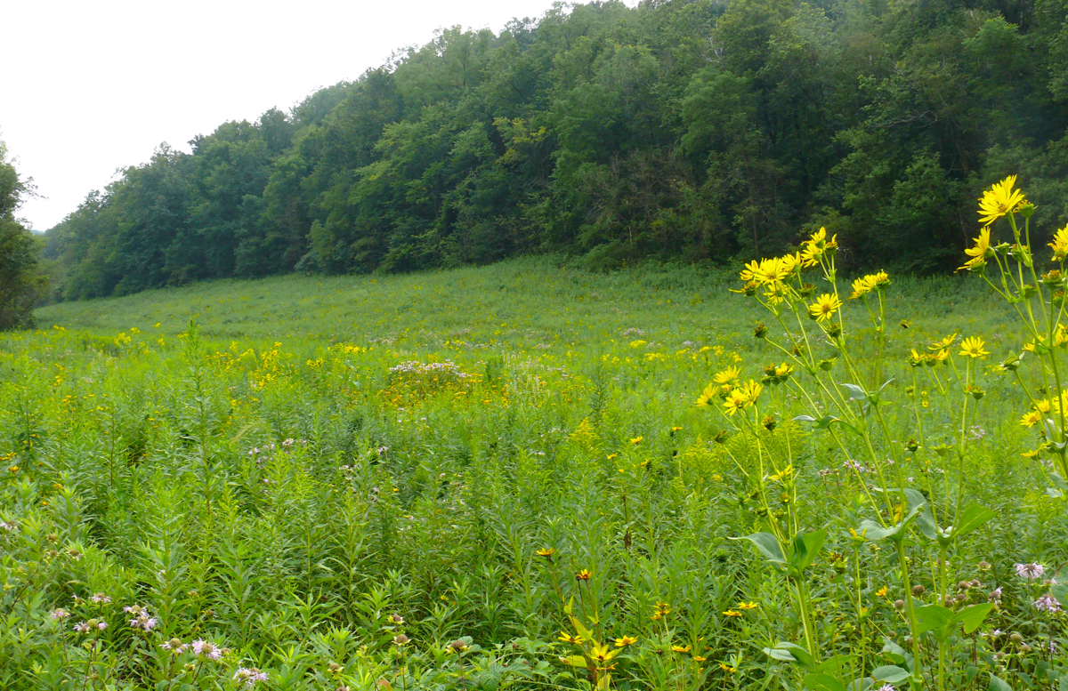
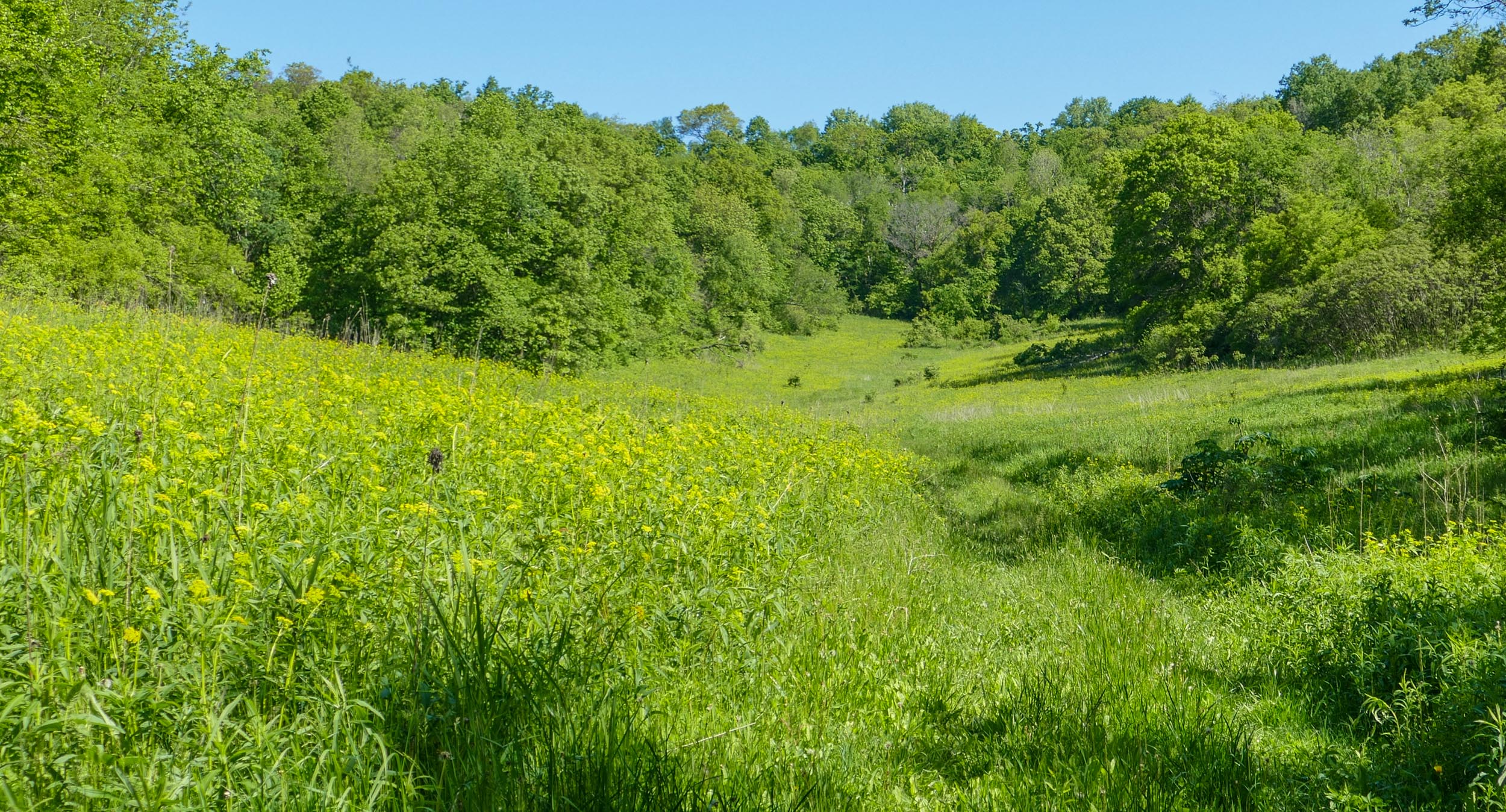
Most of the prairie is overgrown with less desirable natives like Canada Goldenrod. But there are patches with more interesting and more diverse vegetation. I think it might depend on the soils – the places with more interesting plants seem to have sandier soil. This is one of those places – it’s large and near the path, so we see it more often than the others.