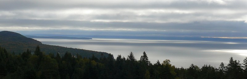
The Bay of Fundy is between New Brunswick and Nova Scotia, and is known for its unusually high tides. Tides in the Atlantic Ocean are only 3 or 4 feet high. But the Bay of Fundy is a long narrow bay, so the water sloshes back and forth – like the water in a bath tub – and the tides there are much higher – between 40 and 50 vertical feet.
Fundy National Park is on the New Brunswick side of the bay, with many beaches where you can watch the tides.
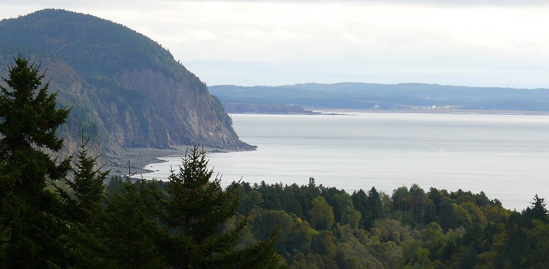
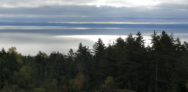
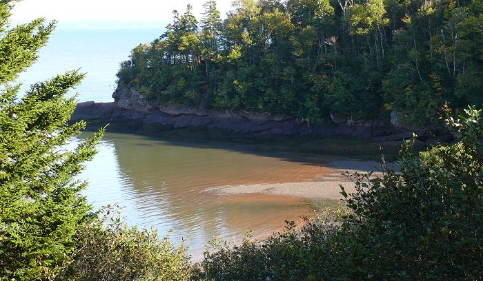
Here are a few views of the bay from the park.
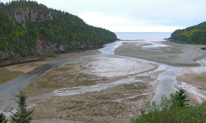
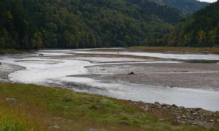
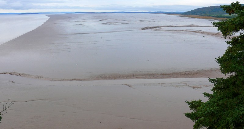
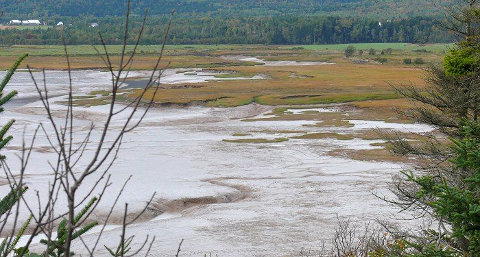
This is where the Point Wolfe River flows into the Bay of Fundy – with the tide out.
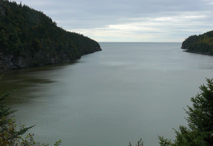
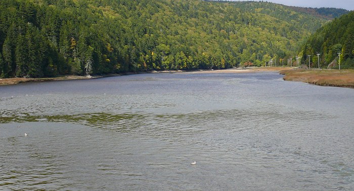
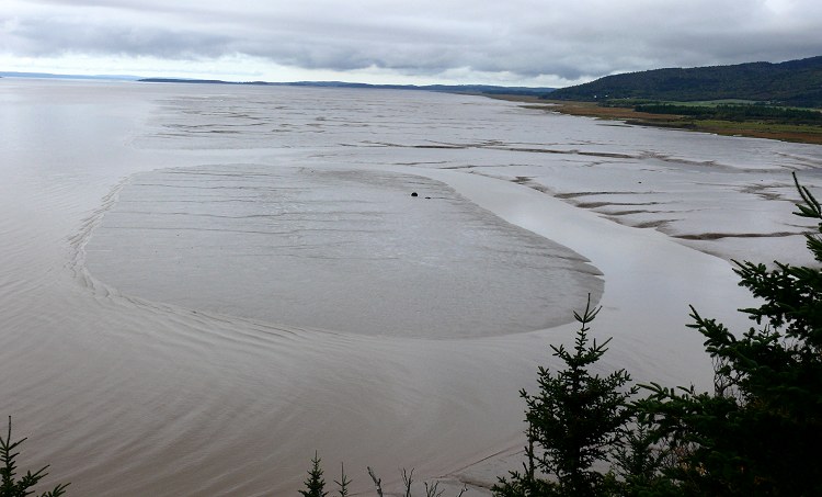
And here’s the same area at high tide.
Point Wolfe River – patterns on the water

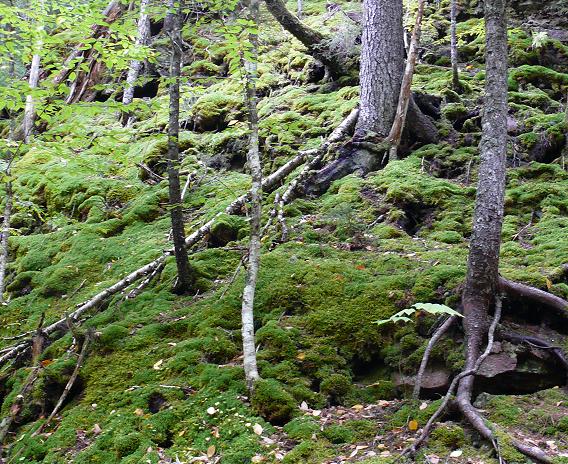
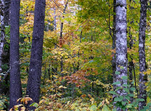
The woods along the shore
This is one of the smaller beaches in the park – Herring Cove – with the tide going out.
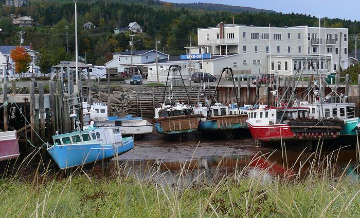
The town next to the park is Alma, New Brunswick.
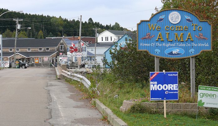
It’s a tourist town, with a hotel and some restaurants for visitors, but it’s also a fishing town. At low tide the fishing boats sit on the sand, below the docks.
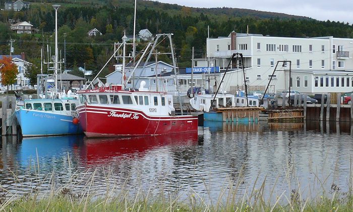
At high tide the boats ride up to the tops of the docks.
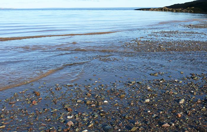
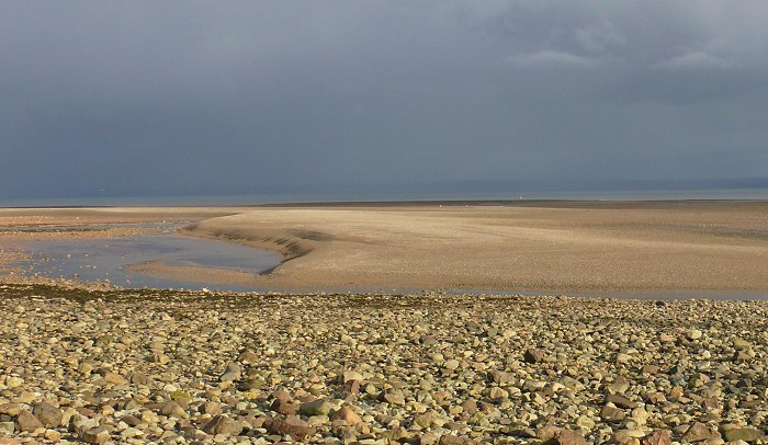
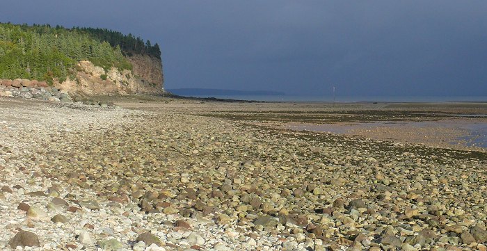
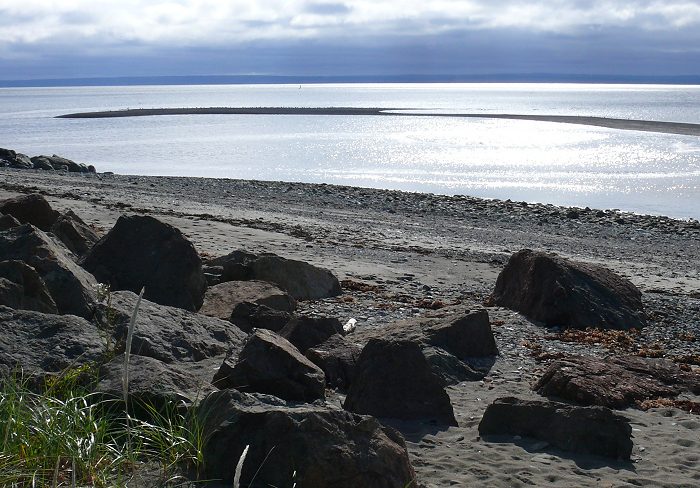
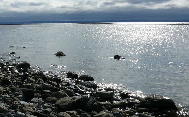
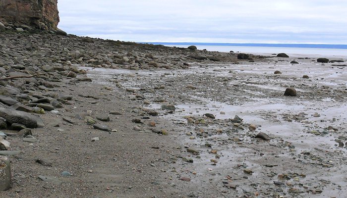
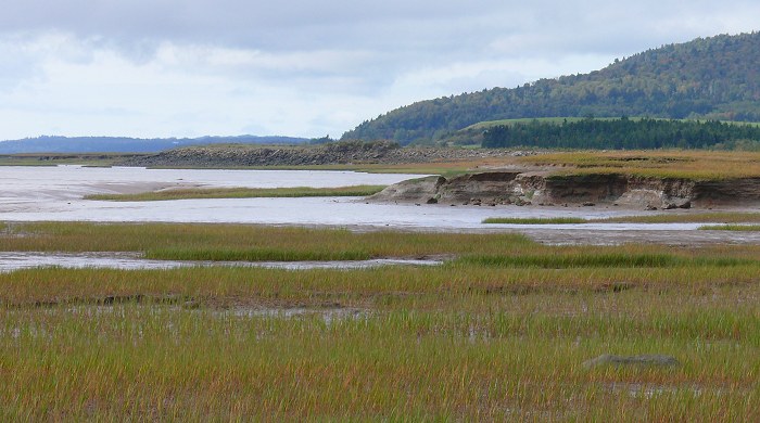
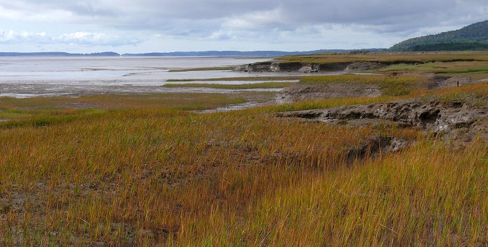
Alma has a wide rocky beach. When the tide is low, the beach stretches out nearly as far as you can see.

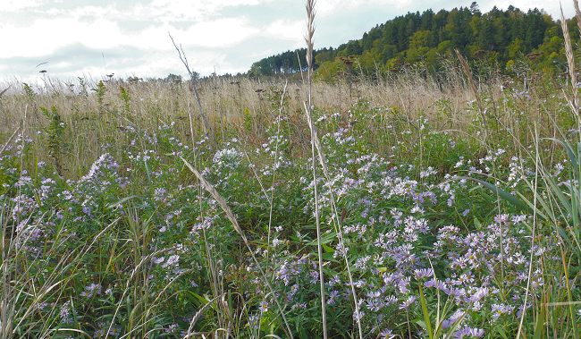
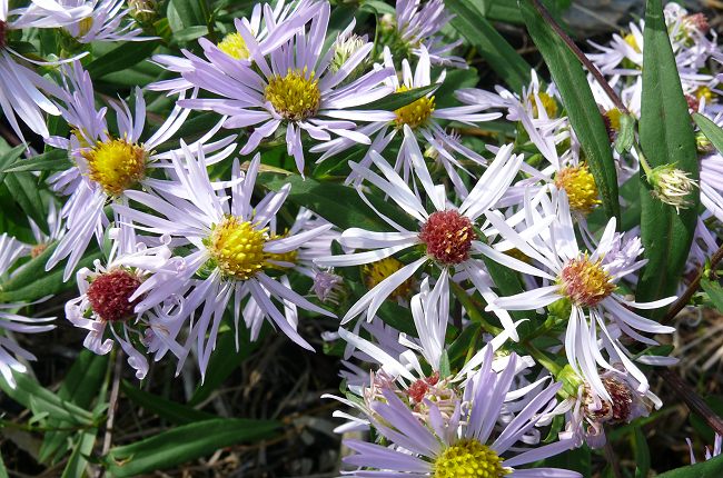
Grass and flowers edge the beach.

Asters along the beach
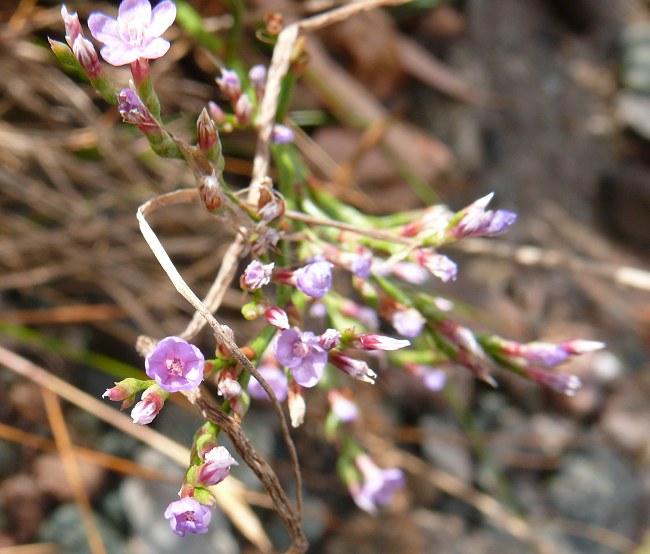
Sea Lavender (Limonium carolinianum)
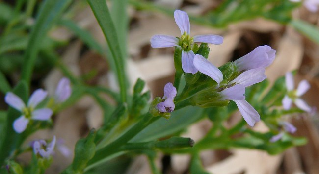
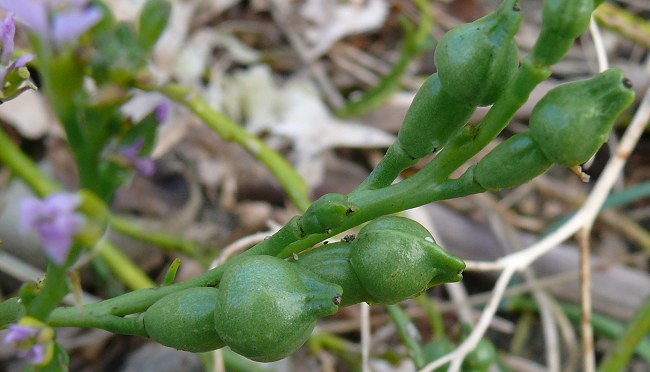
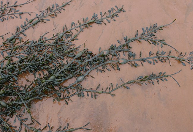
Sea Rocket (Cakile edentula)
Sea Rocket seed pods
The tide coming in over the beach
High tide – with water covering the beach
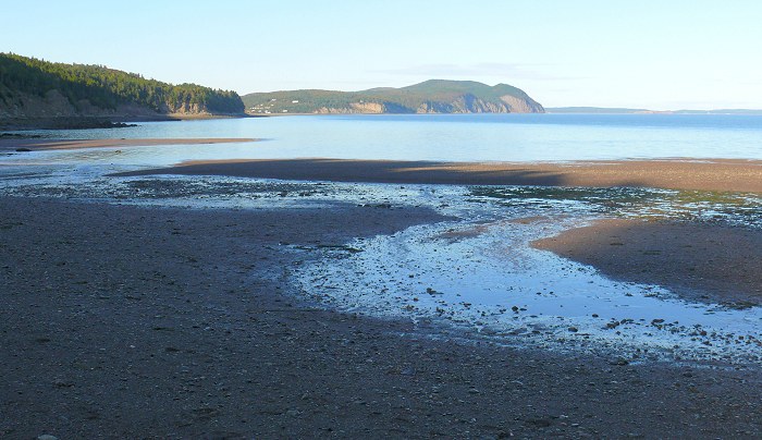
Alma is located where the Salmon River empties into the Bay of Fundy. Here’s the river, at low tide, winding through the sand to the bay.
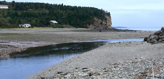
This is looking inland, up the river, at low tide.
The same view of the river at high tide. When the tide is high, the water at the mouth of the river flows backwards – inland, away from the bay.
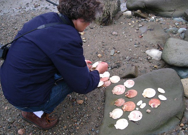
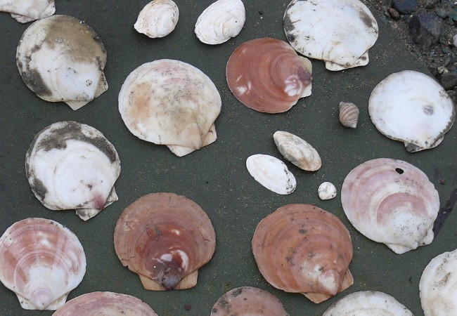
Scallop shells, from the fishing boats, get washed up on the beaches. This beach is especially good for shells because it’s sandy, and the shells don’t get broken on the rocks.
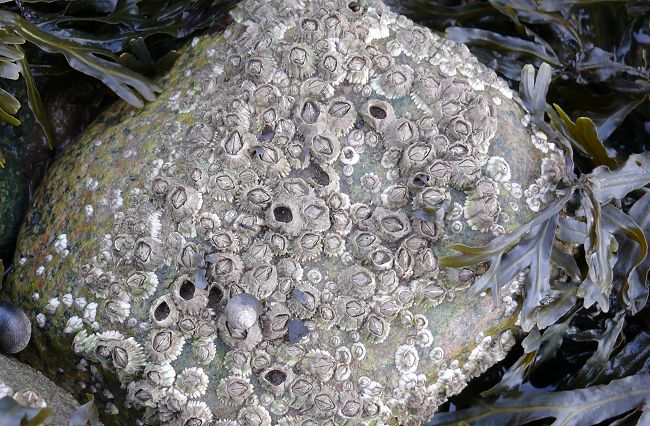
Barnacles
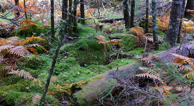
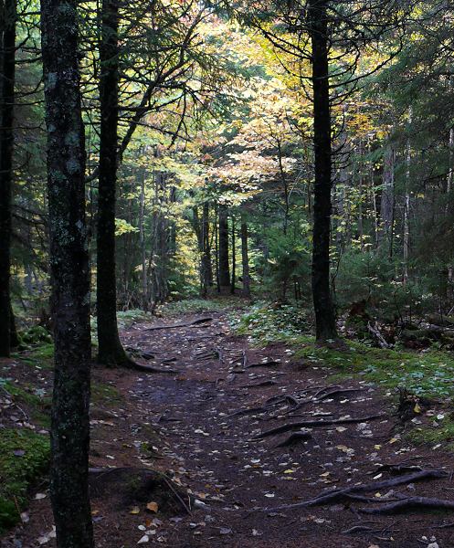
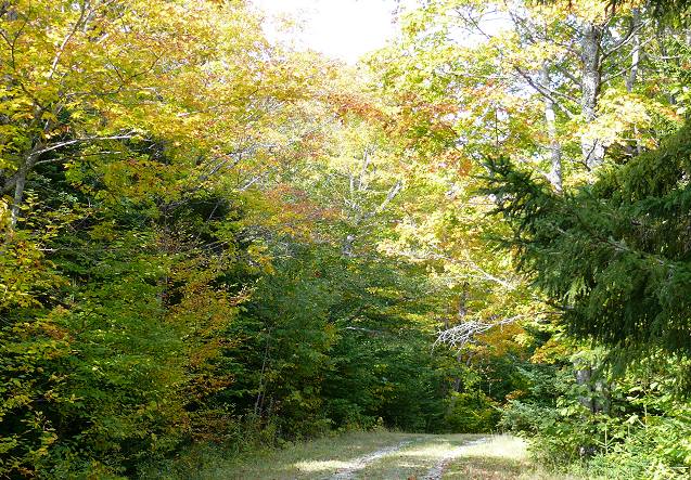
Fundy National Park has many hiking trails through the woods. Here are scenes from some of our woodland walks.


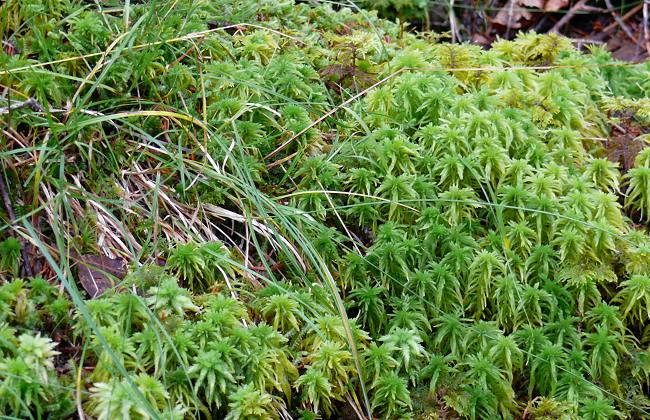
Sphagnum moss growing in boggy places along the edge of the path
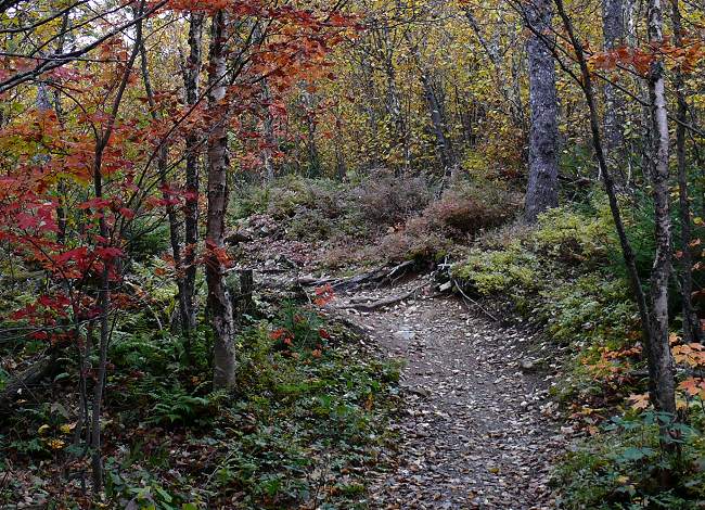
The path
At times this path was more like a stream.

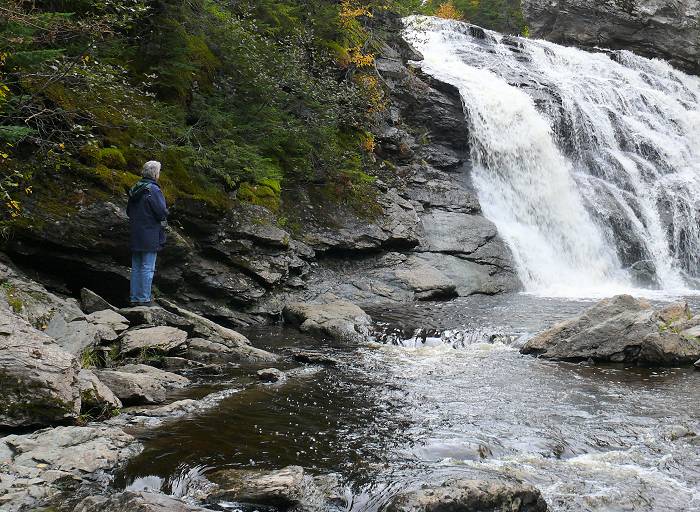
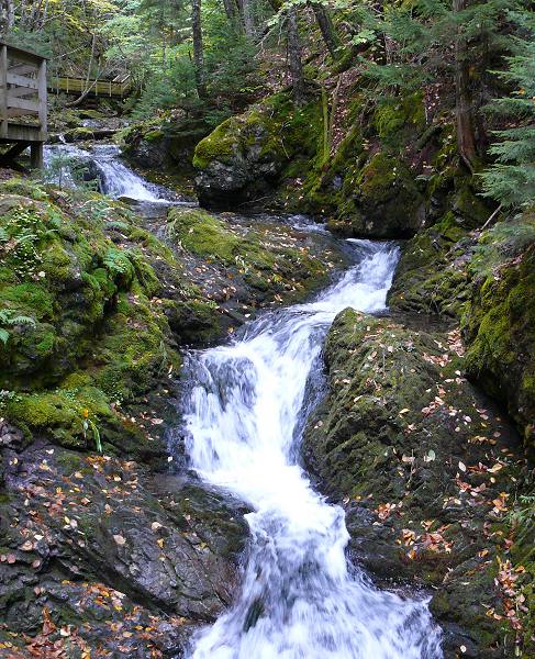
Laverty Falls – at the end of the trail.
More fall colors
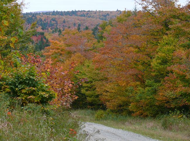
Most of the trails were deep in the woods, with no distant views, but once in a while we’d see glimpses of hillsides with stunning fall colors. Finally, on a drive back from one of our walks, we stopped and got photos of them from the edge of the road.

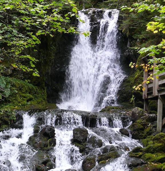
Another waterfall – Dickson Falls
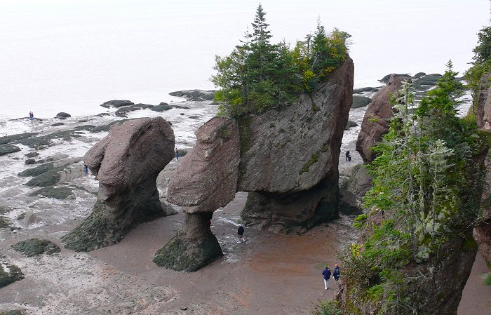
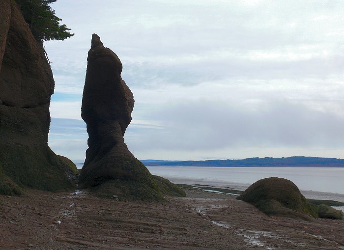
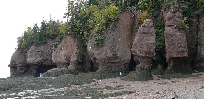
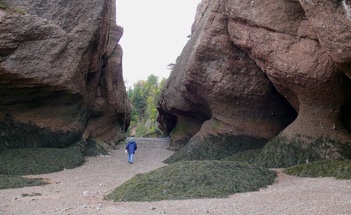
The Hopewell Rocks are along the coast, a little farther east from Fundy National Park. They are tall sandstone rocks that are continually being eroded by the tides into interesting shapes. You can see the rocks at any time, but you can only walk around them during the few hours on either side of low tide.
These are called the “Flowerpot Rocks”. At high tide the water comes to the lip where the rocks jut out.
(Here’s a great interactive photo of the Flowerpot Rocks and the tide.)
More pictures of Hopewell Rocks
At low tide most of the beach is a mud flat. It provides good habitat for small snails and other invertebrates, which are a major source of food for shore birds.
These are small snails called Periwinkles (Littorina sp.), leaving their tracks in the mud.
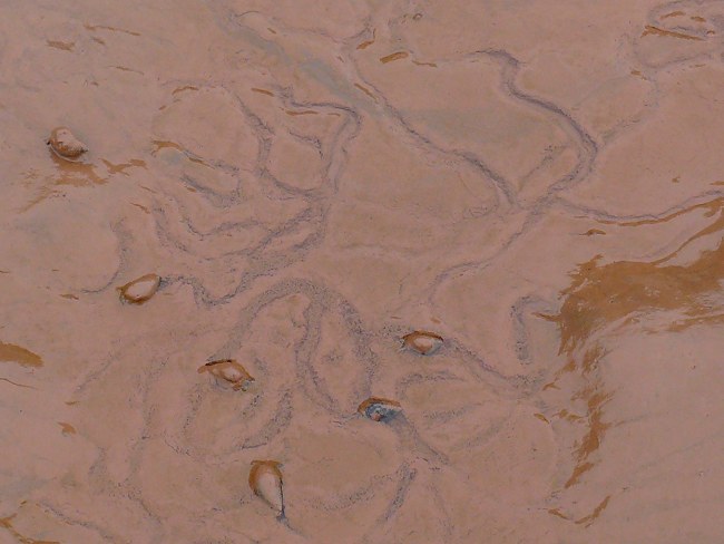
All the black dots in this photo are Periwinkles.
The seaweed reaches out from the rocks onto the muddy shore.
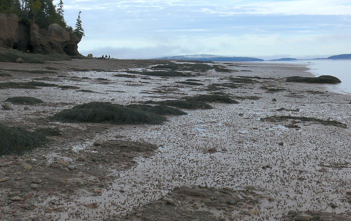
This is one of the big beaches at Hopewell Rocks at low tide – a huge mudflat as far as you can see.
The same beach with the tide part way in
More photos of the beach from the shore. The beach itself is protected, so you can’t walk on it during low tide. But there’s a path along the hard sand that has beautiful views.
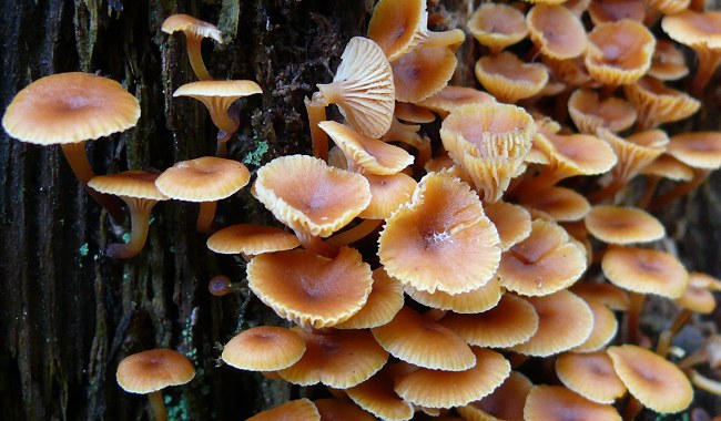
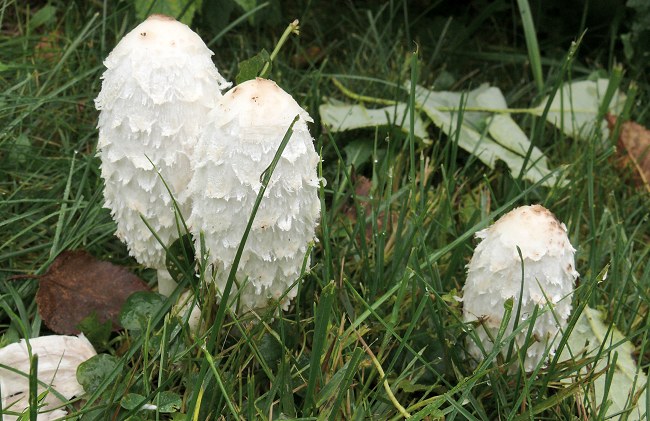
Shaggy Mane mushrooms
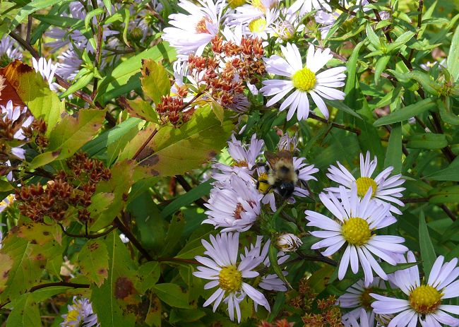
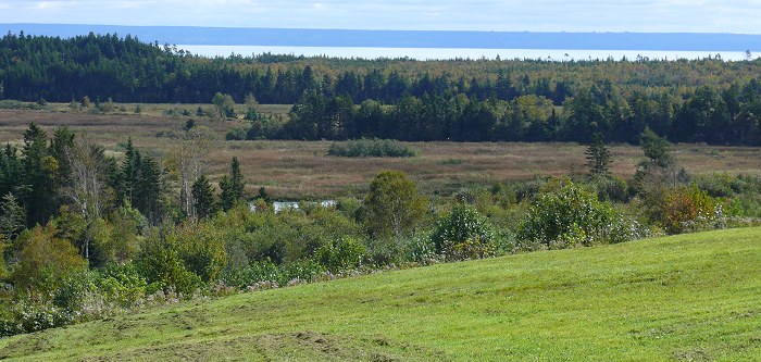
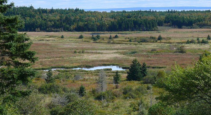
On the way back to the park from Hopewell Rocks we drove on a small road along the coast of the bay. It’s very rural with beautiful views of the bay and the surrounding country.
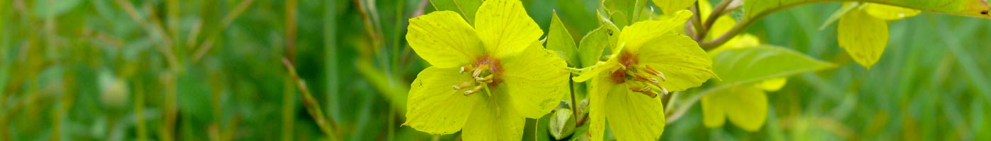
There were still flowers blooming at the edge of the road, and they were full of bees.